
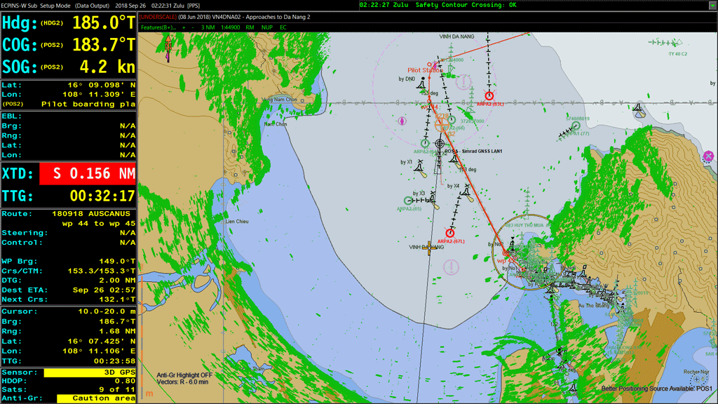
OSI Maritime Systems (OSI) has announced the successful completion of testing for STANAG 7170 Edition 4 Additional Military Layers (AML), demonstrating compliance with NATO’s latest standard for maritime geospatial information.
Integral to OSI’s ECPINS WECDIS, AML provide military operators with critical geospatial information that enhances mission planning, situational awareness, and operational effectiveness. Compliance with STANAG 7170 Edition 4 ensures ECPINS can seamlessly exchange and display AML data, supporting interoperability across allied maritime forces.
Additional Military Layers (AML) are standardized digital geospatial datasets developed specifically for military maritime users. They provide operational and environmental information beyond traditional navigation charts, supporting enhanced situational awareness and improved decision-making in multinational and coalition operations.
The achievement further positions OSI to support the future evolution of military geospatial standards, including the transition toward the next-generation S-501 AML framework. By meeting current NATO requirements, OSI enables customers to maintain compatibility with emerging standards while preparing for increasingly data-driven maritime operations.
ECPINS is deployed across 27 NATO and Allied navies, of which ten navies deploy the system fleetwide. Further, ECPINS has become the de facto WECDIS standard among European NATO fleets.
